
This post continues our travelogue of two through-hikes we made along Hadrian’s Wall. If you haven’t done so already (and if you have the time), we recommend that you read Part 1 and Part 2 for some background and context—but even if you don’t, we hope that you’ll enjoy the following pictures!
In this post, we want to give a shout out to the wonderful people we met during our two trips. These include (1) the docents and interpreters at sites like Lanercost, who helped us to understand what we were seeing when we dealt with material outside of our own areas of specialization; (2) the publicans and restaurateurs who introduced us to delicious local goodies like Cumberland sausage, black pudding, haggis, and sticky toffee pudding; (3) the kind owners of the B&Bs where we stayed, one of whom definitely went out of his way to pick us up when one of us was too blistered to walk any further that day; (4) the other ramblers with whom we shared experiences along the way, whether on the trail or over food and beer at the end of a long day. “Valete” to all those who still inhabit this world, and “sit tibi terra levis” to all those who have passed on.
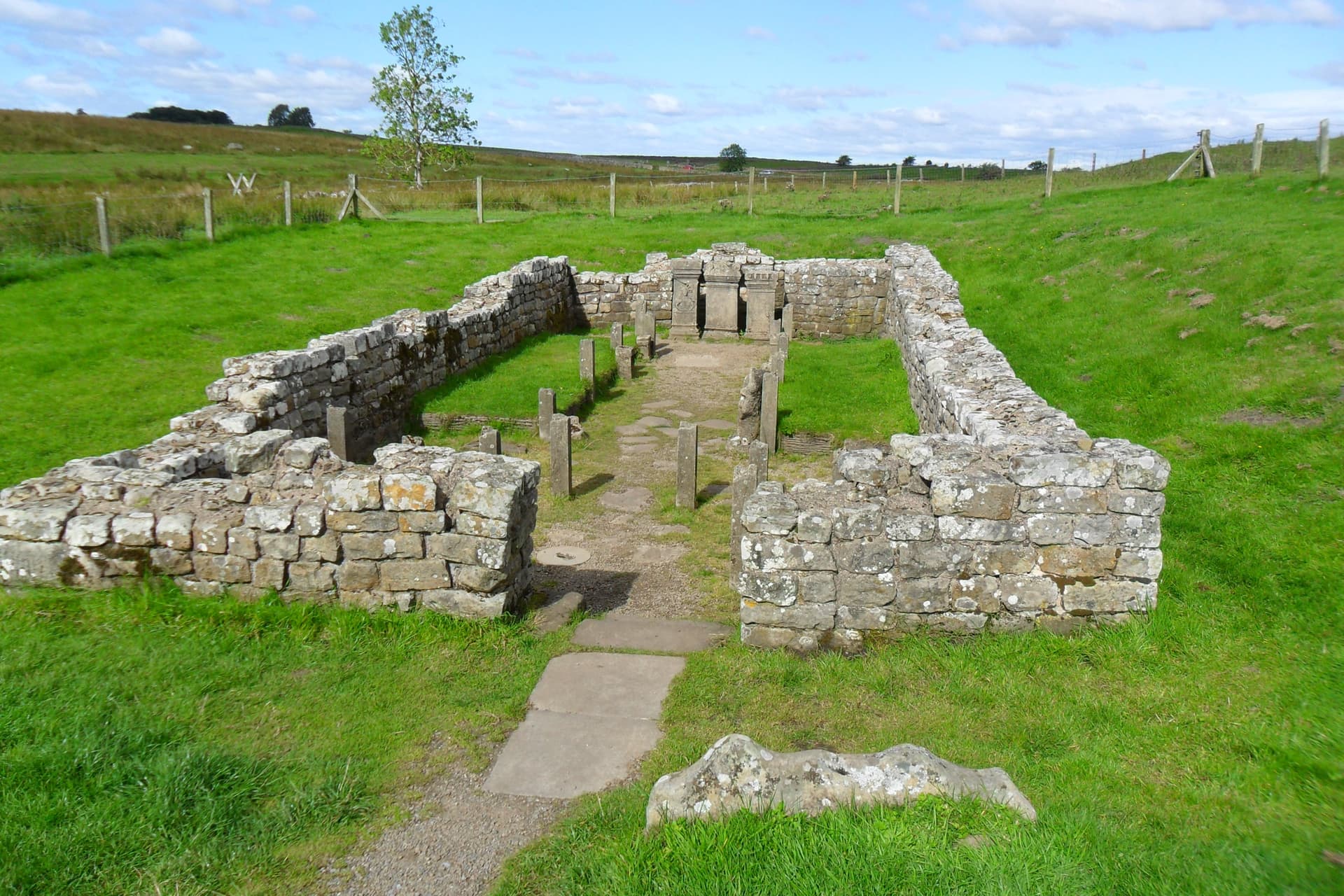
The Mithraeum at Bricolitia Roman Fort (mile 51)
This ruined Mithraeum (a sanctuary to the god Mithras) sits just outside Bricolitia, another Roman fort on the Wall a few miles east of Housesteads. Mithras was the Roman interpretation of the Persian god Mitra, who became very popular with soldiers in the Roman army from the late first century CE onward. For the Romans, Mithras was a god whose worship entailed “mysteries”; the idea was that those chosen to be initiated into the mysteries gained some kind of special knowledge or privileged position that would yield benefits in the world to come (Isis was worshipped in the Roman world in the same way, and early Christianity contained comparable “mystery” elements). The altars you see here are replicas; the originals have been relocated to a local museum.
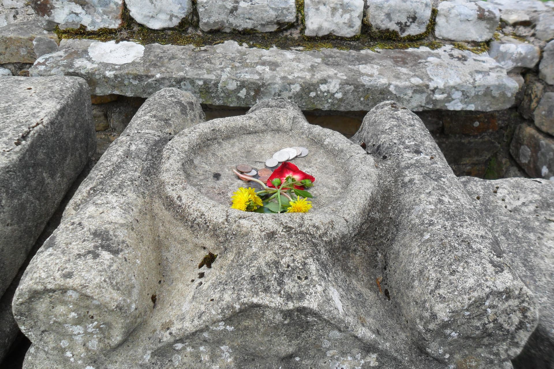
Offerings to Mithras (mile 51)
While we were standing near the Mithraeum on our 2010 trip, a lone visitor in military garb entered the ruins from the nearby parking lot. As we watched, he approached the altars, stood silently for a long few seconds with his head bowed, and then placed a few small objects on one of the altars as a gift for the god. Emily wanted to take a picture of him, but Cam argued that it was not appropriate to do so. Emily did, however, take a picture of what he offered to Mithras. In recent years there has been something of a revival of Mithraism in the UK, particularly among military members, part of a broader cultural interest in neo-pagan beliefs and practices.
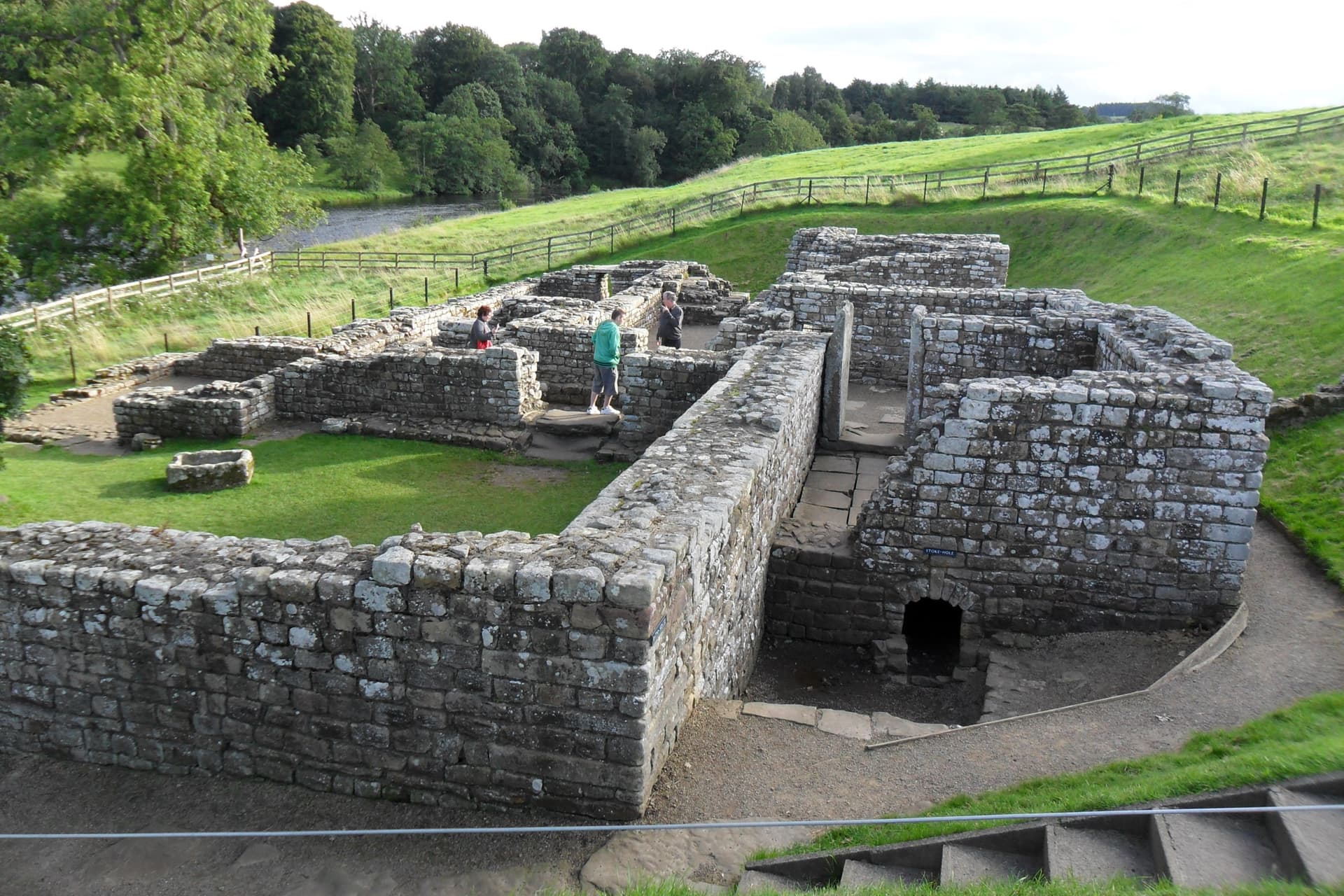
The Bathhouse at Chesters Roman Fort (Mile 55)
Another few miles, another Roman fort along the Wall. This one is Chesters (ancient Cilurnum), a fort that was garrisoned for many years by auxiliary cavalry soldiers from Spain. This building is another one of the amenities enjoyed by soldiers in Roman forts: a bath-house! Note the room on the right, which has an elevated floor with a crawlspace underneath so that the room could be heated from below.
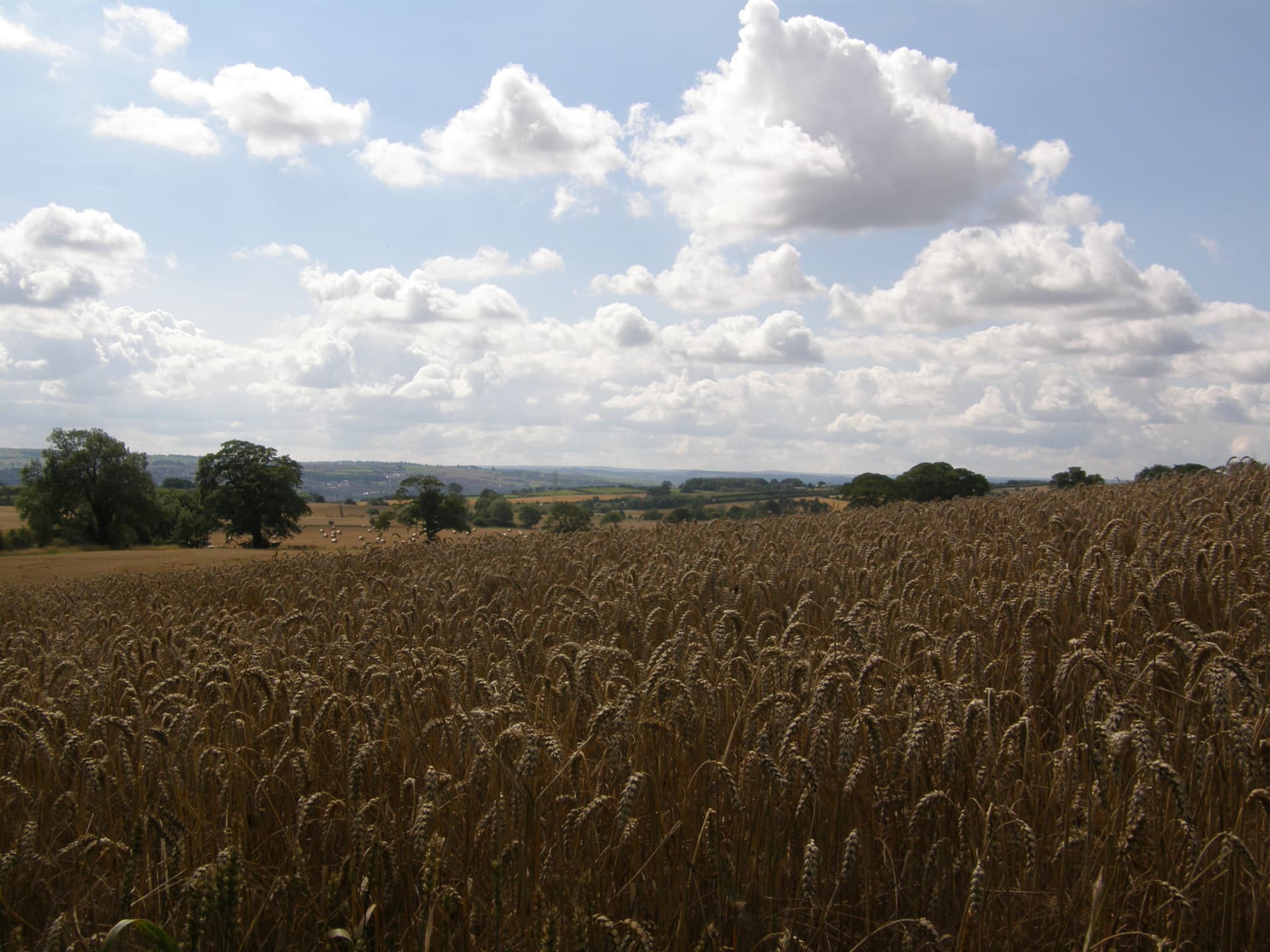
Standing Wheat (mile 67)
While the central sections of Hadrian’s Wall Path cut mostly across pastureland (especially along the Great Whin Sill, where only sheep dare to tread), there are definitely stretches of crops under cultivation as the path descends toward the Tyne. This stuff, photographed in late August 2010, looks like wheat ready to be harvested.
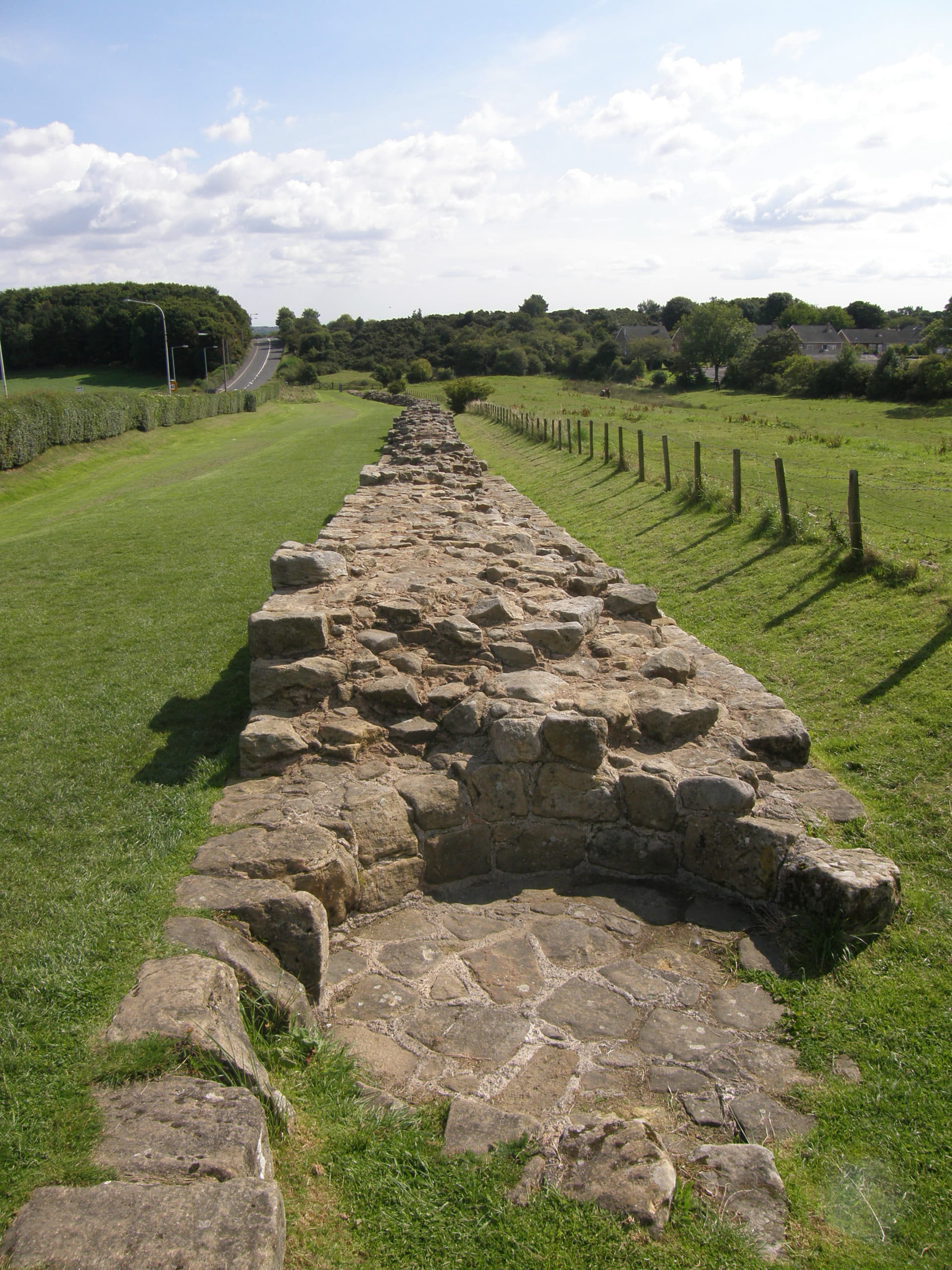
Heddon on the Wall (mile 70)
At Heddon-on-the-Wall, eastbound hikers say goodbye to visible remains of the Wall itself (and westbound hikers get their first glimpse of them). This bit of the Wall is also interesting because you can clearly see the circular impression where medieval potters built a kiln into the Wall’s ruins, which were probably much more substantial in the potters’ day than they are now.
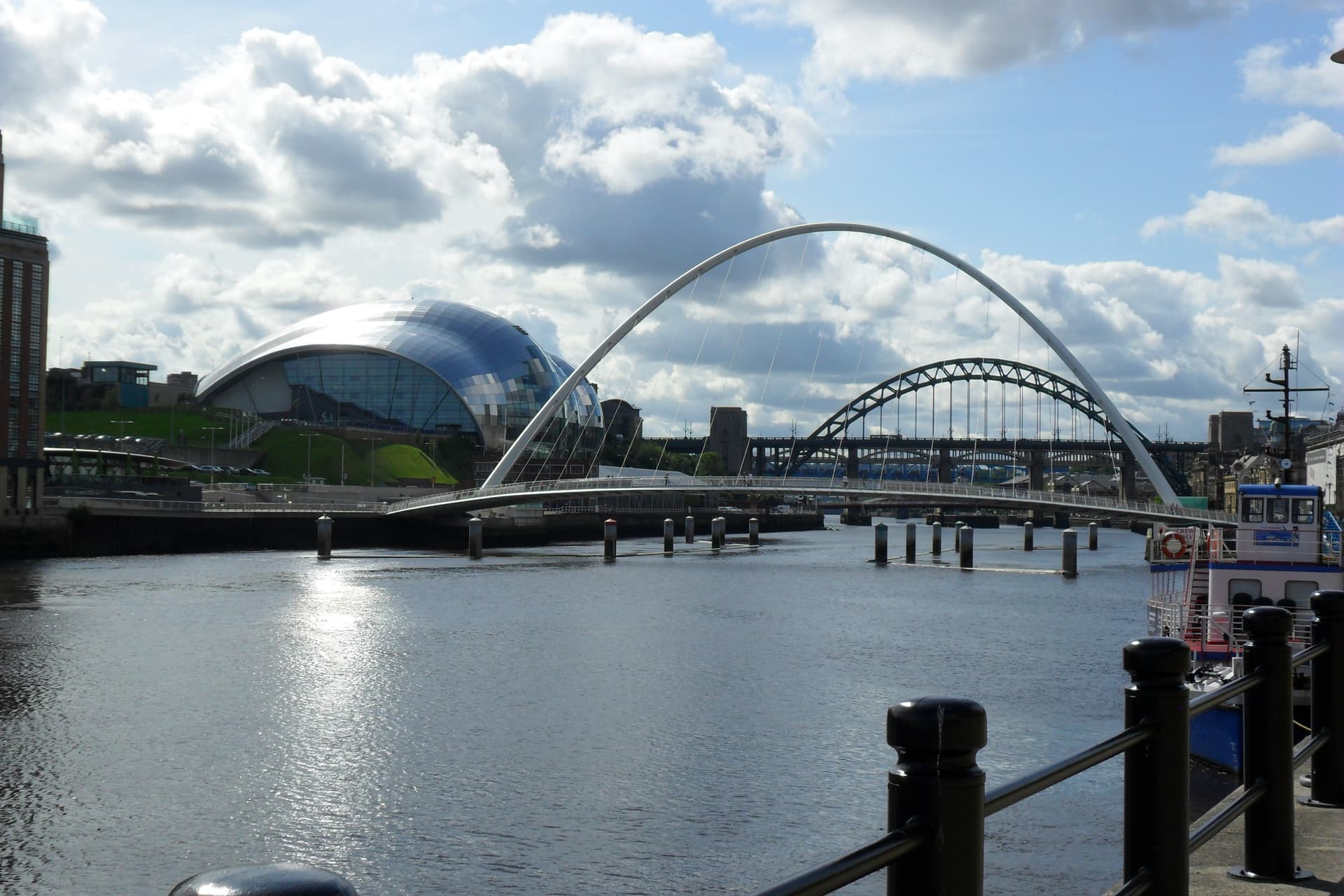
The Bridges of Newcastle (mile 81)
The last few miles of the trail take hikers right through modern Newcastle. This picture was taken on the north bank of the Tyne at Quayside, looking west toward (in order) the Millennium Bridge, the Tyne Bridge, the Swing Bridge, and the High Level Bridge. The shiny building on the left is the Glasshouse, a music venue. In antiquity, the Tyne was spanned where the Tyne Bridge now stands by the Pons Aelius, which was guarded on the north bank by yet another Roman fort.
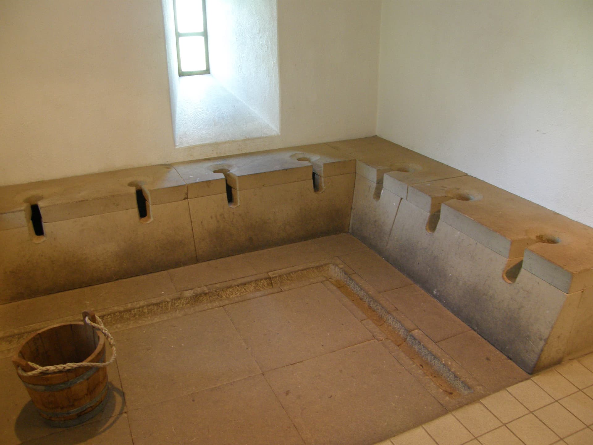
Segedunum Roman Fort at Wallsend (mile 84)
The Wall proper ended (or began) at a fort called Segedunum, in what is now Wallsend—a Newcastle suburb, which also happens to be the eastern terminus of Hadrian’s Wall Path. There’s a decent little interpretative center there with a small museum and some reconstructed Roman buildings. Here’s a picture of their reconstructed latrine building, which gives a good sense of what the ruined one at Housesteads (see Part II of this series of posts) must have looked like.
Wallsend Metro Station (off-trail, near mile 84)
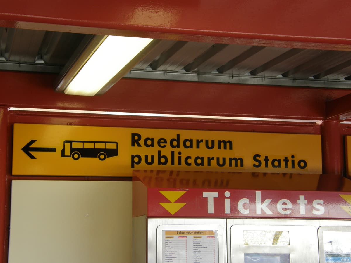
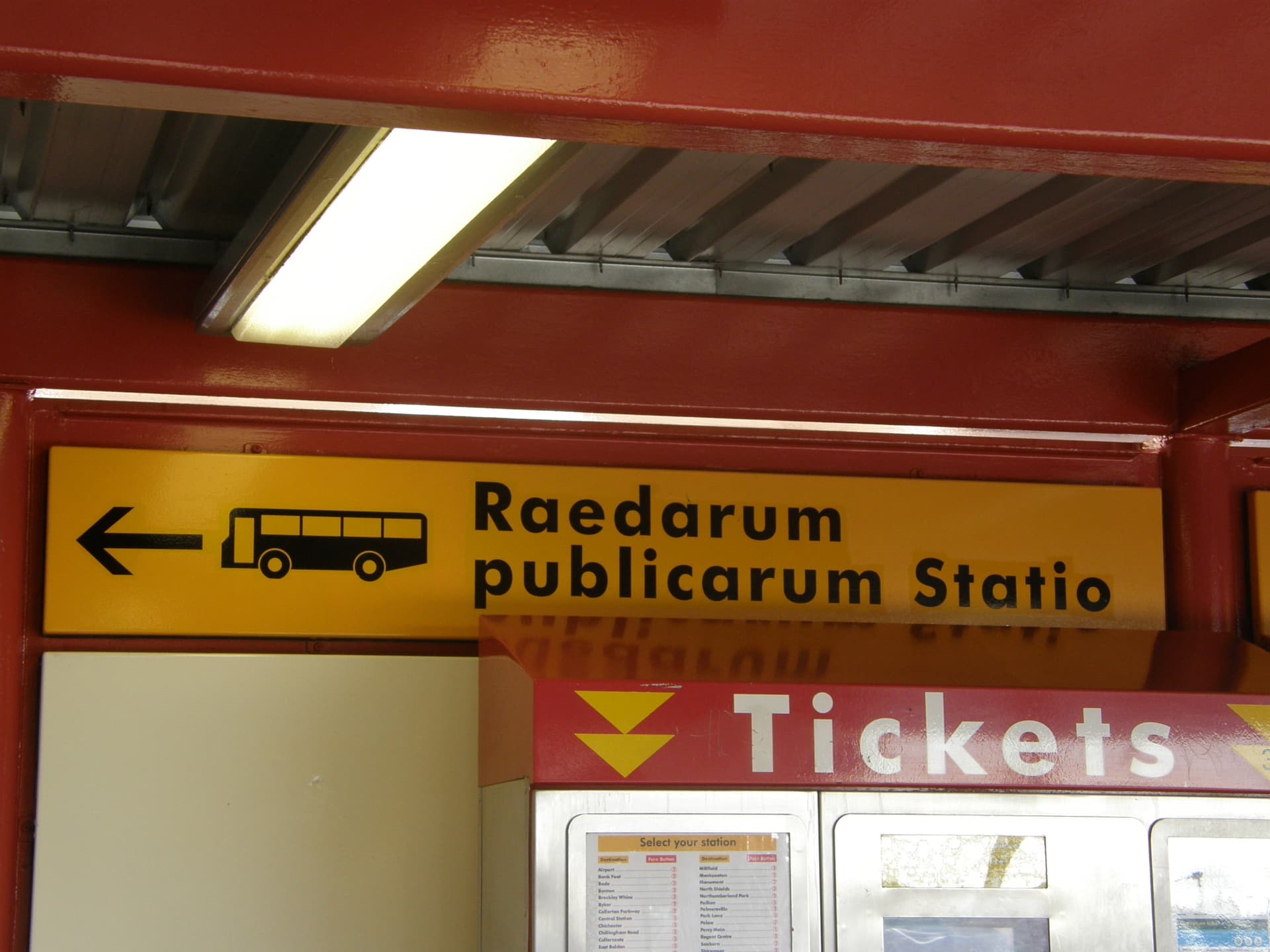
Wallsend really leans hard into their Roman connection, to the extent that the Wallsend Metro stop is full of signs in Latin. This one directs people to the “position of the public carriages” (bus station)!
Arbeia Roman Fort at South Shields (off-trail)
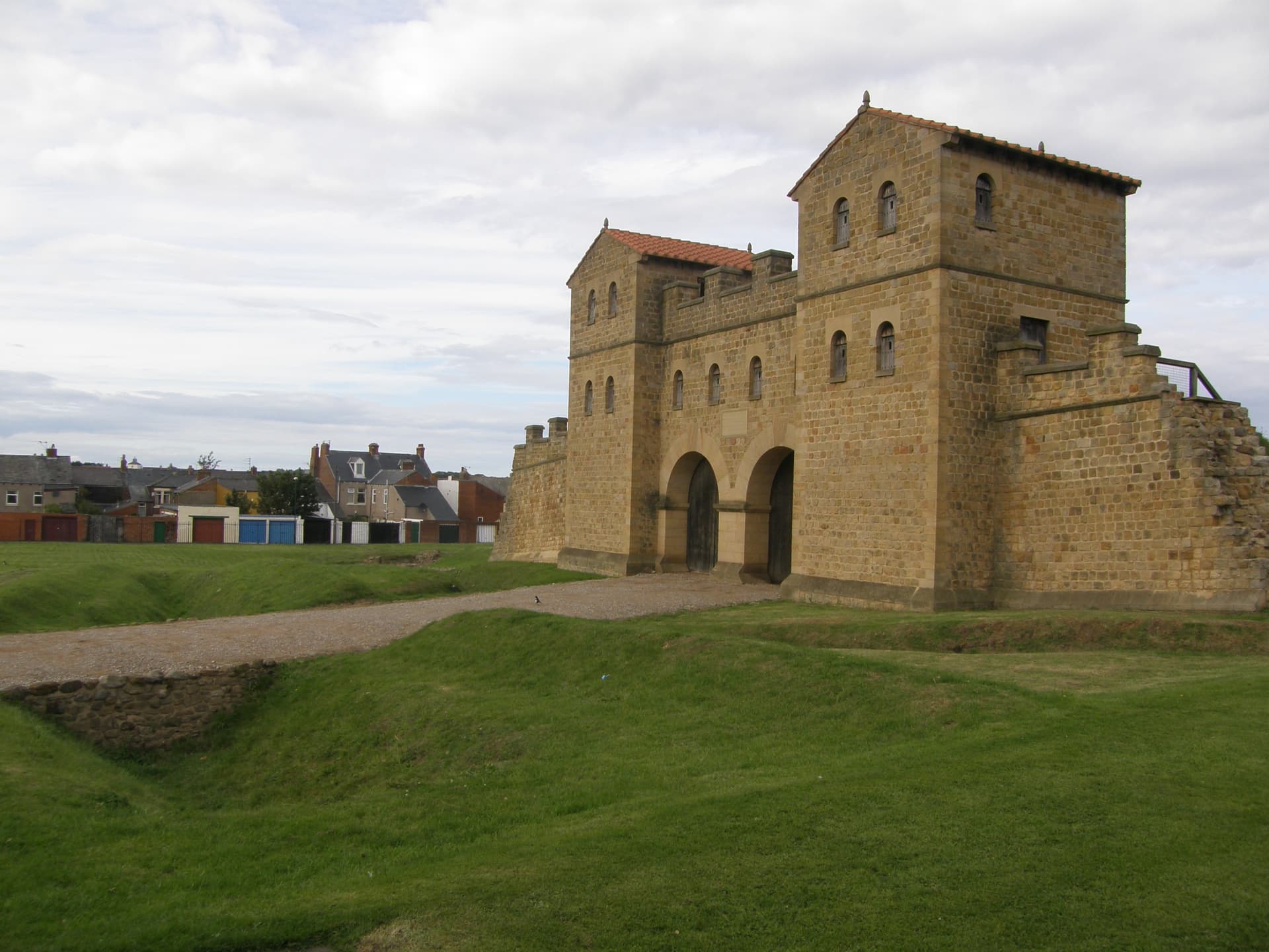
The Romans built yet another fort, Arbeia, in what is now South Shields. It’s about four miles east of Wallsend, on the south bank of the Tyne, right where the river flows into the North Sea. It was technically not part of the Wall, but it was certainly an integral part of Rome’s frontier installations in the area. Arbeia too has a nice interpretative center, featuring this modern reconstruction of the kind of gatehouse that would have faced northward from forts along the Wall like Birdoswald. (We also happen to know that Arbeia was garrisoned in late antiquity by auxiliary soldiers from Mesopotamia and Egypt—people who had been transplanted quite literally from one corner of Rome’s empire to another, in this case because they were skilled river boatmen. At least they moved from one beer-drinking province to another, which hopefully made them a little less homesick than they would have been otherwise.)
The Pubs of the Ouseburn (off-trail, near mile 81)
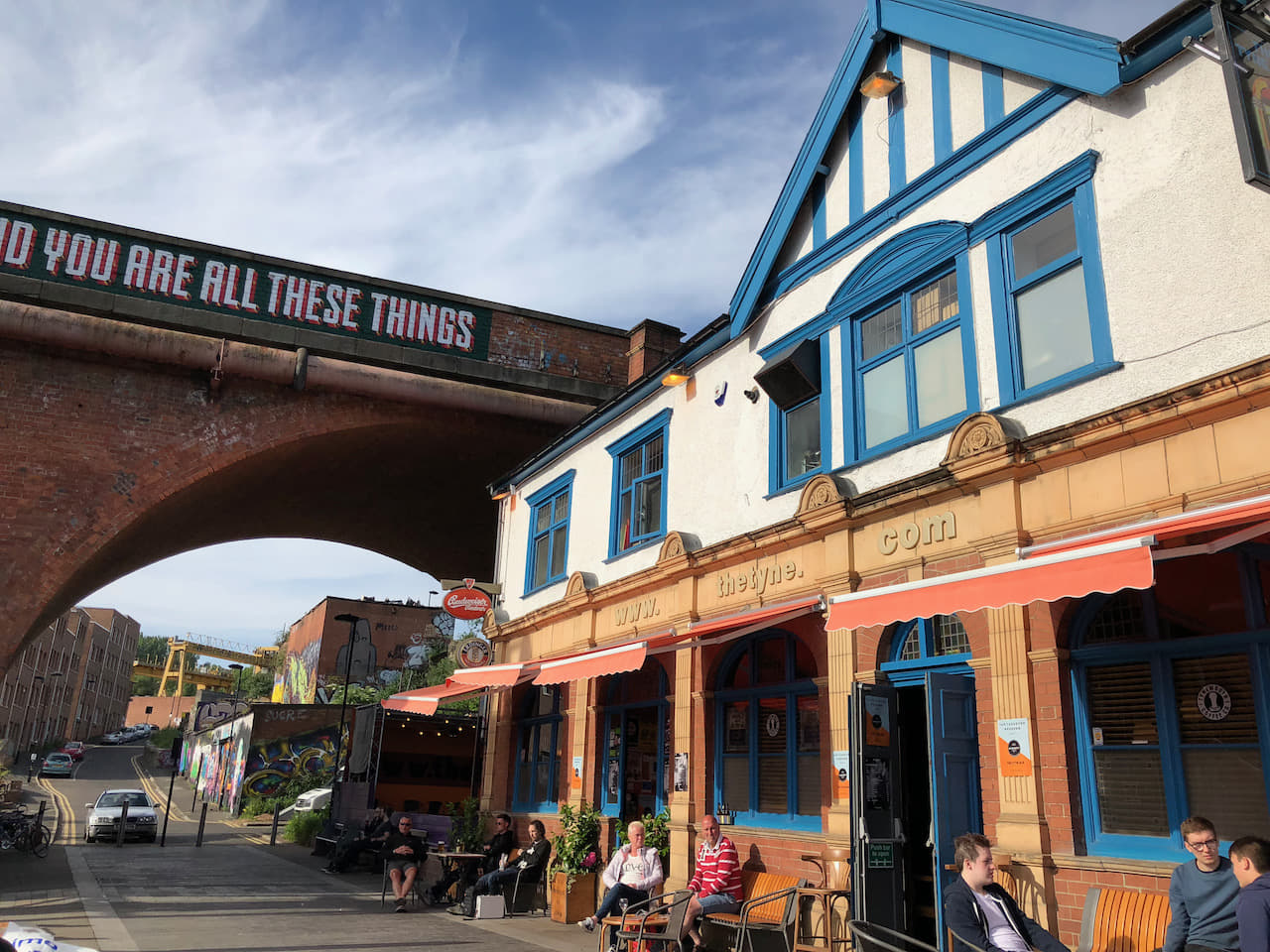
One of the frustrating things about the interpretive center at Segedunum is that it doesn’t serve beer—which, frankly, is all that we wanted when we finished our 2018 hike. Not to worry, though—the pubs of the Ouseburn (a small tributary of the Tyne) are a short three miles away (and many are actually accessible from Hadrian’s Wall Path around mile 81). Come for the spectacular post-industrial vibe, stay for the great real ale.
And that’s a wrap! If you haven’t done so already, please do listen to our four podcast episodes on Hadrian’s Wall and Hadrian’s Wall Path; you’ll find the first one here.