
This post continues our travelogue of two through-hikes we made along Hadrian’s Wall. If you haven’t done so already (and if you have the time), we recommend that you read Part 1 for some background and context—but even if you don’t, we hope that you’ll enjoy the following pictures!
Before we get into today’s pictures, we want to acknowledge the amazing people at two organizations. First, the folks at English Heritage, who have done a lot of work since the 1980s to preserve, interpret, and display important sites along and around Hadrian’s Wall. In particular, they painstakingly disassembled many of the in-situ remains of the Wall that still survive and reconstructed them, stone-by-stone, using modern bonding agents. Thanks to their efforts, those remains will hopefully survive intact for centuries yet to come. Second, the people at Natural England, the organization that maintains England’s network of long-distance National Trails, including Hadrian’s Wall Path. Without their hard work, neither of these trips would have been possible.
The countryside between Thirwall Castle and Walltown Quarry (mile 35.5)
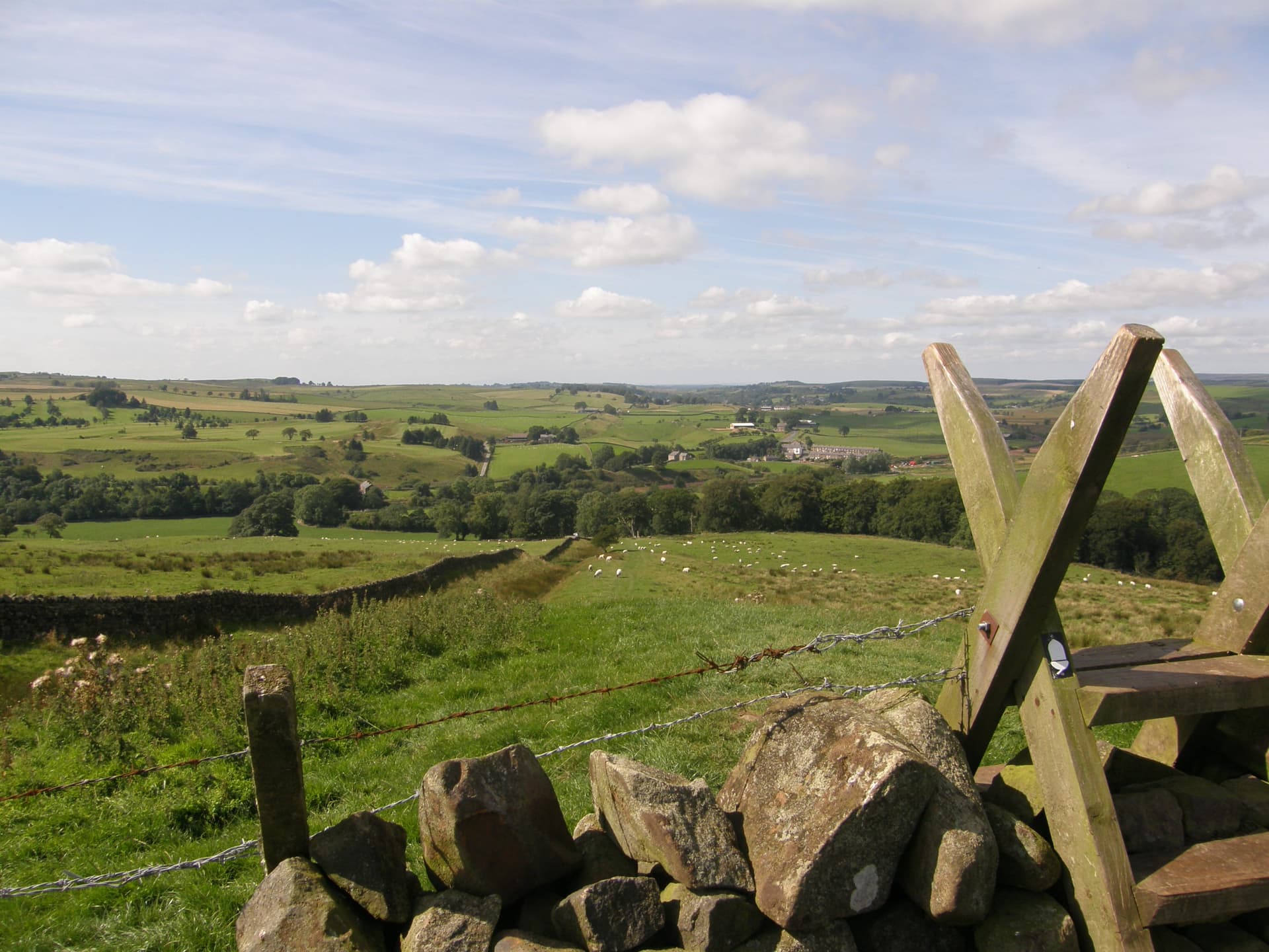
We really like this picture, for two reasons. First, it shows just how striking the British countryside can be in fine weather. We took this picture on our first trip in 2010, in late August; it shows the view to the west from a point near Walltown Quarry. Second, this picture offers us an opportunity to talk a little bit about the trail itself. Like a lot of English footpaths, Hadrian’s Wall Path consists mostly of a public right-of-way that cuts across privately-owned land (although there are also sections that cross Northumberland National Park). In practice, this means that hikers constantly need to cross field walls and fences that separate one piece of property from another. Stiles like this one exist to help hikers clamber over field walls without knocking anything over; we went up and down hundreds of these during each of our treks. The white acorn blaze you can see on the stile is the emblem used by Natural England to mark the seventeen different National Trails that fall under its jurisdiction.
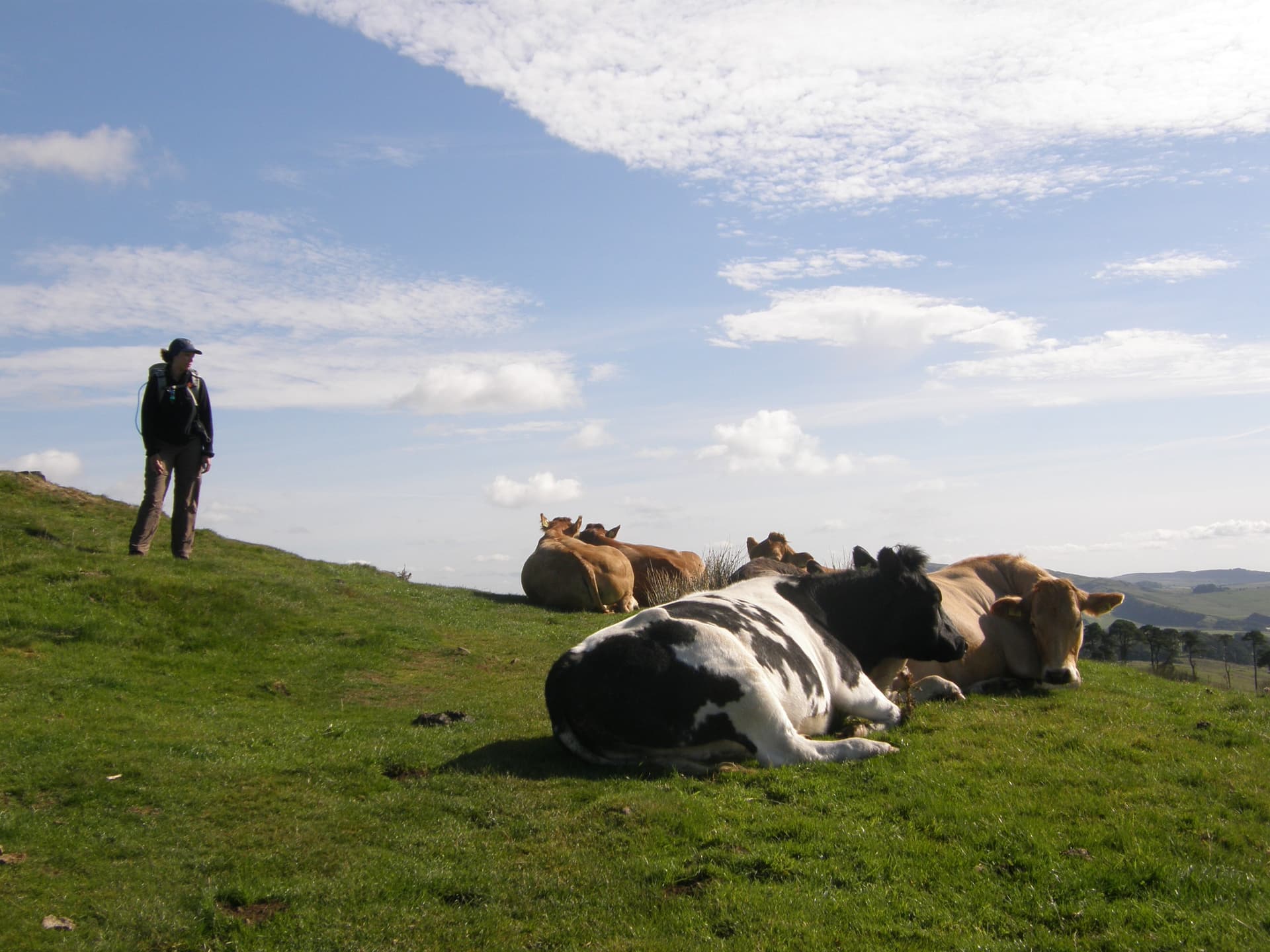
An Encounter on Mucklebank Crags (mile 37)
Much of the landscape through which the path passes is pastureland. This means that hikers constantly encounter herds of cattle. Most cows along the path are used to hikers and are usually pretty relaxed about such encounters, like the ones we ran into here on the Mucklebank Crags. If calves are present, however, all bets are off, and cows can become aggressive (and terrifying!). At one point, we were forced off the path and into some trees by a cow and her calf that were determined to drink from a water hole we had just crossed; the cow was not in the mood for any nonsense. It could have been a lot worse: angry cattle typically kill six or seven ramblers a year in the UK.
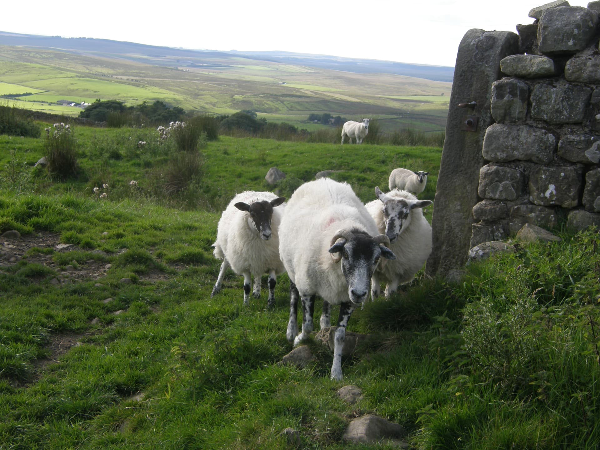
An Encounter near Melkridge Common (mile 41)
Hikers on the path encounter flocks of sheep even more frequently than they encounter herds of cattle. Happily, sheep are a lot less frightening than cows—if anything, they’re inclined to run away if you round a corner and blunder into them (as we did here).
Crag Lough, from the top of Steel Rigg (mile 42)
At roughly the 35-mile mark, the Wall (and the path) begin to climb a big basaltic rock shelf called the Great Whin Sill. This means that hikers have the pleasure of walking a 12-15 mile stretch featuring a series of ascents and descents as the path negotiates a number of steep, precipitous hills (called crags or riggs). Pictured here is the view eastward from Steel Rigg, at roughly the 42-mile mark. In the distance, Crag Lough (mile 43) lies beneath the next major set of hills, Highshield Crags; if you look carefully, you can see the line of the Wall as it makes its way up their shoulder.
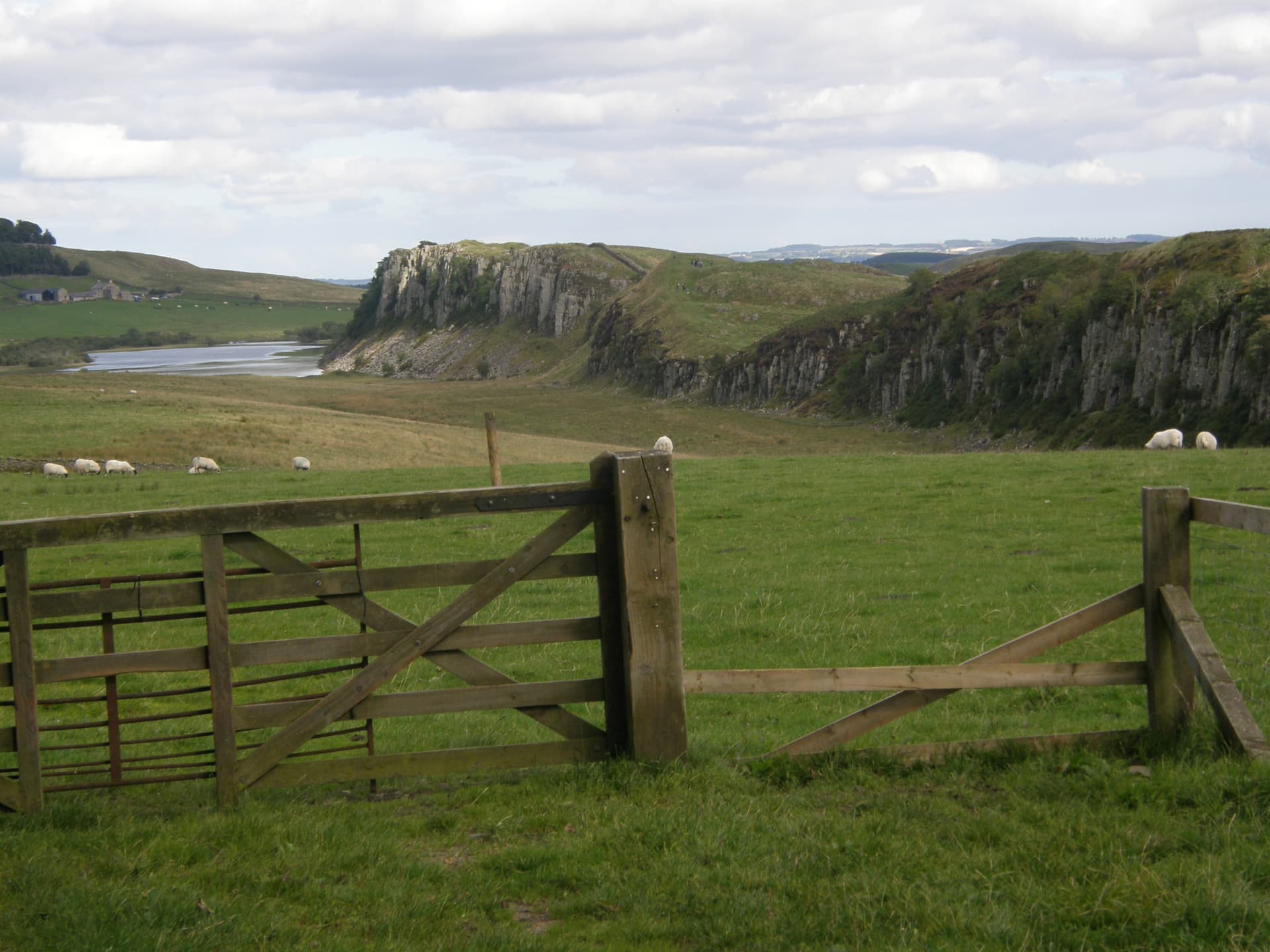
Castle Nick (mile 43)
The oft-photographed castle Nick lies in a little saddle below Peel Crags, a series of minor bumps between Steel Rigg and Highshield Crags. In our first post in this series, we noted that the Wall was punctuated by a series of so-called “milecastles” (because there was one roughly every Roman mile) and observation towers. Formally known as Milecastle #39 (as measured from the Wall’s terminus at Wallsend), Castle Nick gives viewers an excellent impression of the layout of these structures. Like the other milecastles, it exists to control a crossing point at the wall: the northern gate in the wall itself and the milecastle’s southern gate are both clearly visible. Traces of the milecastle’s internal structure can also be seen. It would have held several barracks and service buildings—enough to serve a couple of small detachments of auxiliary non-citizen soldiers detailed from one of the fifteen larger forts along the wall.
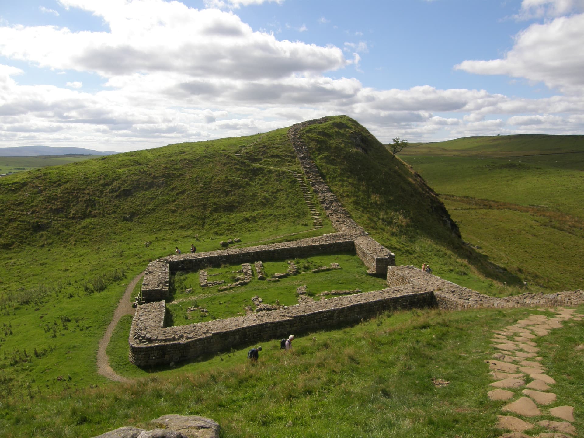
Sycamore Gap (mile 43.5)
Named after ancient tree that dominates this shot, Sycamore Gap is (or rather, was—see below) the most iconic spot along the wall. Pictures of the gap and its tree have graced countless postcards, pamphlets, and books. It has also appeared in at least one major movie, Robin Hood: Prince of Thieves, in a scene in which Kevin Costner and Morgan Freeman climb the wall beside it. (We hate that scene. This is a rare stretch of Wall that still has original Roman masonry with no reconstruction. We have each spent lots of time yelling at students not to climb on things when we visit archaeological sites, and seeing other people do exactly that drives us absolutely fuc—but we digress; apologies for the interruption.)
Sadly, the sycamore tree you see here (which had been on that spot for at least 120 years) stands no more. On September 28, 2023, vandals took a chainsaw to it and cut it down. Two men were later charged and convicted for causing criminal damage to the tree and to part of Hadrian’s wall (on which the tree fell). The stump lives on, as do seeds and seedlings harvested from the tree, so perhaps we will see another adult sycamore standing in the gap in a century or so.
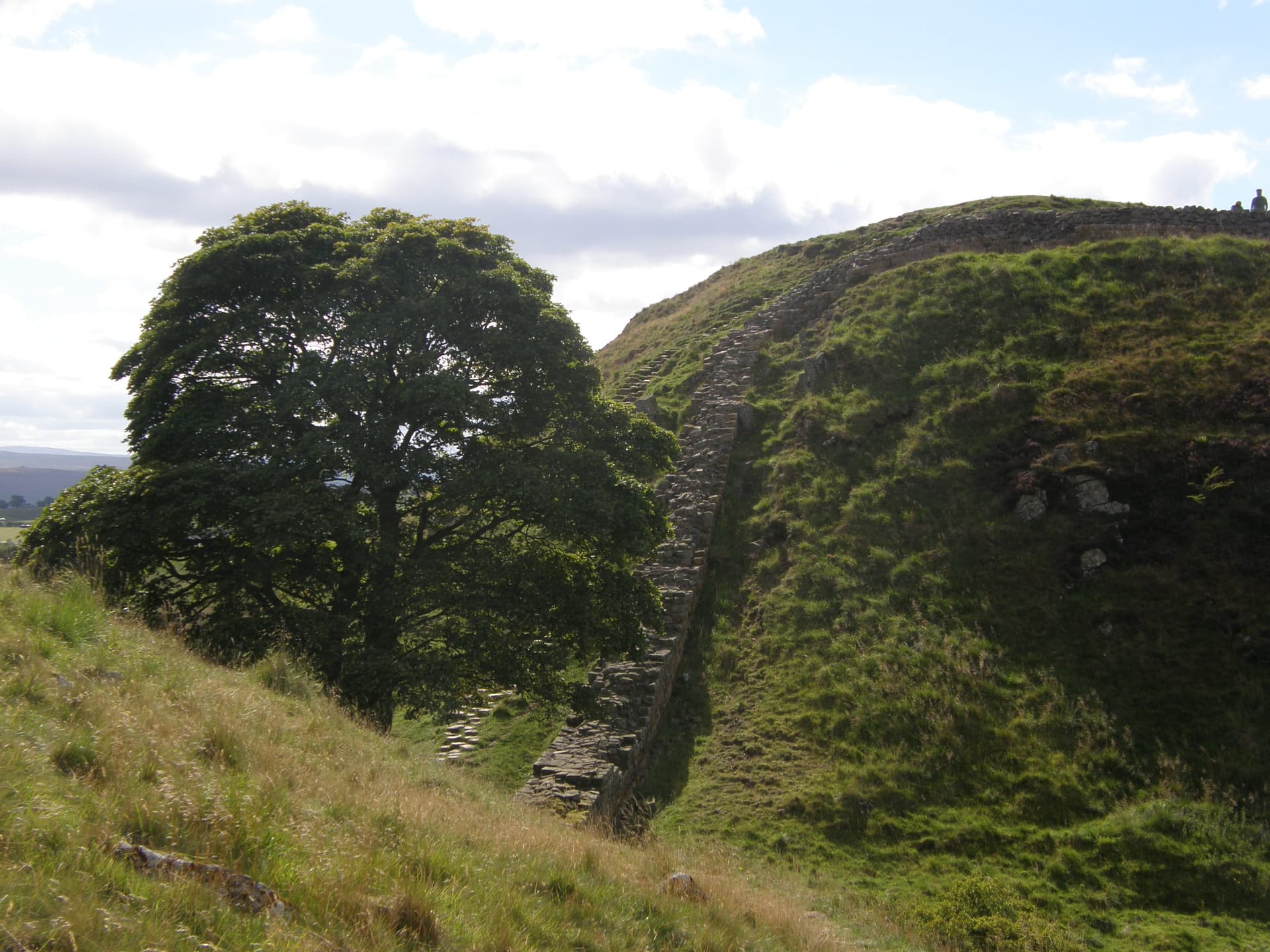
A Roman Re-Enactment at Housesteads (mile 45)
The major Roman fort at Housesteads (probably Vercovicium for the Romans) sits on the wall just before the path reaches the eastern end of the Great Whin Sill. It’s a popular stop for day-trippers, since there are a lot of ruins there and since it gives easy access to some scenic stretches of the trail along the crags. When we straggled into the fort in 2010, footsore and wind-burnt after dealing with 50mph winds, we discovered that the site was hosting its annual “Roman Days”, which feature re-enactments by members of the Ermine Street Guard, the UK’s premier Roman re-enactment group. They do a bunch of interesting demonstrations of period handicrafts, cooking, camp life, and combat. At one point, for instance, they fired off some nerf-like missiles from a replica of a Roman ballista, and then sent all the kids who had gathered to watch off to hunt for the spent missiles in the long grass.
This picture captures a small group of Guard members decked out in full military kit. Most are dressed as members of a citizen legion—the six legionaries with their bright red scuta (shields) and pila (javelins), as well as the two signifers (standard-bearers) with their standards and wolf-skin helmet coverings. The one on the far right is dressed as the member of a non-citizen auxiliary unit. Although soldiers belonging to citizen legions built the wall, the garrisons stationed at forts like Housesteads consisted of non-citizen auxiliary troops drafted by the Romans from various provinces of the empire; in the 130s, for instance, Housesteads was garrisoned by about 1000 Tungrian soldiers from what is now Belgium. Auxiliary soldiers generally signed up for 25-year tours of duty, and if they survived until the end, they could normally expect to receive Roman citizenship.
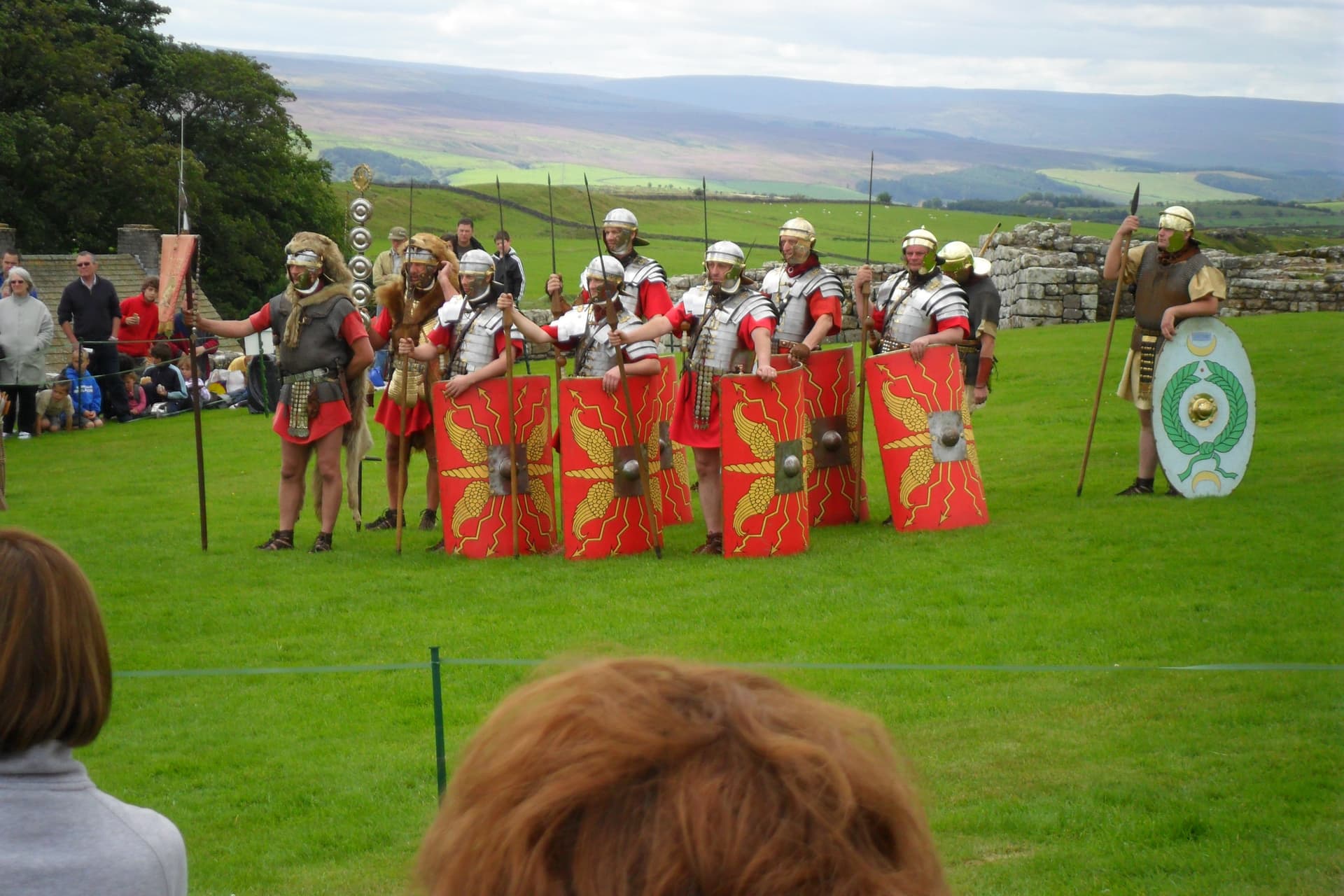
Ruined Roman Latrines at Housesteads (mile 45)
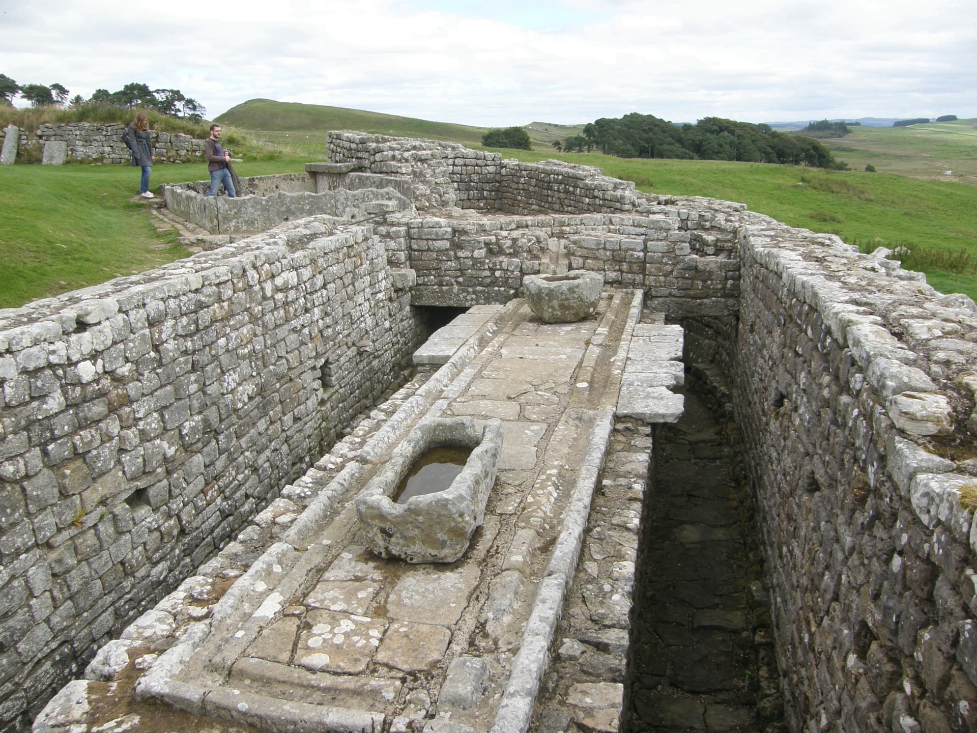
No set of pictures of Roman ruins would be complete without a shot of one of the most characteristic aspects of permanent Roman bases—the communal latrines! The wooden seats of ease have long disappeared, but you can still clearly see the deep latrine ditches (which would have been flushed constantly by running water), some fragments of the broad flagstones on which soldiers would have rested their feet while sitting down, and the conduit that circulated fresh water at their feet so that they could wet the sponges they used to clean themselves when they finished their business. Yay for preventing dysentery!
Vindolanda (off-trail, near mile 45)
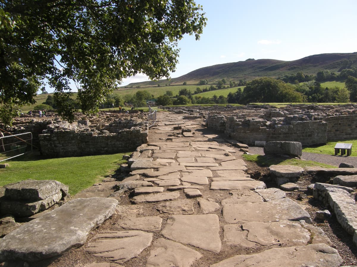
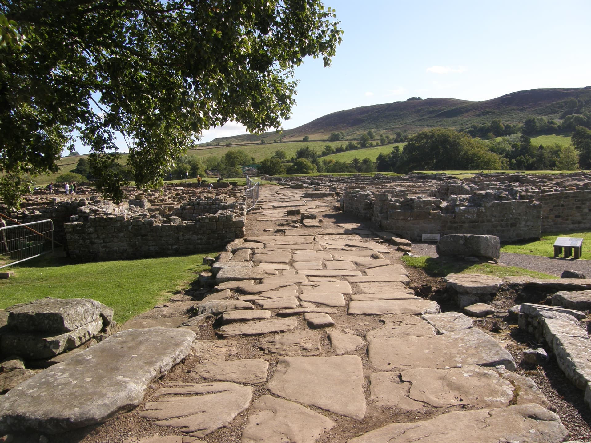
Not too far from Housesteads are the remains of another Roman fort, Vindolanda, which sits a couple of miles south of the Wall itself. It predates the Wall by some 30-40 years, a holdover of an earlier frontier system in which the region’s main feature was a military road (now called the Stanegate) connecting several forts as it made its way from east to west. Vindolanda remained an important settlement, and an environmental oddity has made it famous: the soil in the region is extremely anaerobic, which means that lots of period artifacts of wood, leather etc. survived here (and are on display in the local museum or in London). It’s a phenomenal site, and the ongoing archaeological excavations here look for volunteer workers every summer.
Writing tablets in the British Museum (London, way off-trail)
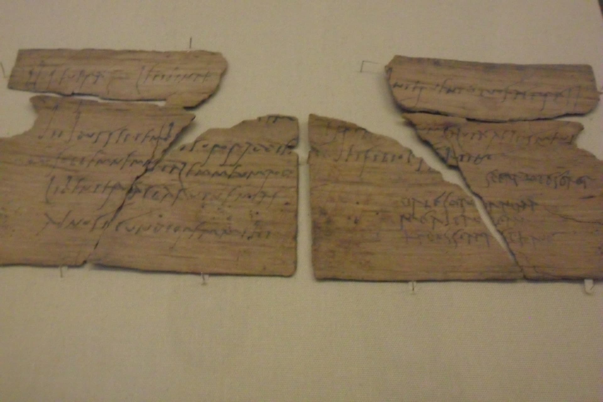
Vindolanda’s wooden writing tablets are definitely the site’s most important surviving artifacts. Most are very thin pieces of local wood, folded in half, on which residents of the site wrote letters in ink. As a group, they have lots to tell us about life on the frontier. This one is a letter from Claudia Severa (written partly in her hand and partly in someone else’s, probably that of her enslaved scribe) inviting her friend Sulpicia Lepidina to a birthday celebration! Most of these tablets now reside in London at the British Museum.
Continued in Part III! And be sure to check out our four-part series of podcast episodes on Hadrian’s Wall, which starts here.